
Blog
Why Luoyang City, China, Was a Recurring Imperial Capital

Why Luoyang City, China, Became a Recurring Imperial Capital
For centuries, few locations in ancient China held the political and strategic gravity of Luoyang City, China. Situated at a pivotal crossroads, this venerable settlement served as the capital for an astonishing nine dynasties, a testament to its enduring geopolitical significance. Understanding *why* rulers repeatedly chose this location requires a deep dive into its unique geography—a confluence of rivers, protective mountain ranges, and critical east-west transport routes that collectively shaped its destiny as an imperial heartland.
From military defense to economic prosperity and cultural exchange, Luoyang’s natural setting offered unparalleled advantages. This article will unpack the specific geographical factors that cemented Luoyang’s status, examining how these elements provided both security and connectivity essential for governing a vast empire.
The Unrivaled Geographic Advantage of Luoyang City, China
The strategic importance of Luoyang City, China, is inextricably linked to its physical geography. Its location offered a rare combination of defensibility, agricultural fertility, and connectivity, making it an ideal nexus for imperial power. For any aspiring dynasty, selecting a capital was not merely a symbolic act; it was a pragmatic decision heavily influenced by logistical and military considerations. Luoyang consistently met these rigorous criteria.
River Confluences: Lifelines for Power and Prosperity
The meeting points of rivers were vital arteries for ancient civilizations, providing sustenance, transport, and defense. Luoyang’s position relative to major waterways was a primary factor in its recurring selection as a capital. The practical implications for an imperial power were profound:
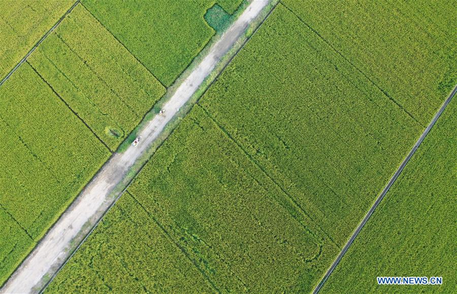
- The Yellow River (Huang He): As the cradle of Chinese civilization, the Yellow River brought fertile loess soil to the plains surrounding Luoyang. This ensured robust agricultural yields, capable of feeding a large imperial court, its army, and the burgeoning urban population. More than just irrigation, the river served as a natural highway for bulk transport of grain, timber, and other resources from the vast northern plains. However, the Yellow River’s unpredictable floods also necessitated extensive hydraulic engineering, fostering early state organization and control over labor.
- The Luo River: A significant tributary, the Luo River joins the Yellow River near Luoyang. This confluence amplified the transport capabilities. The Luo River itself provided a more manageable water source for the city’s immediate needs, facilitating local commerce and direct access to the Yellow River’s broader network. For imperial logistics, this meant easier movement of troops, supplies, and communications across the region. The dual river system offered redundancy and enhanced strategic control over waterborne traffic.
- Impact on Imperial Control: The control over these rivers allowed the imperial government to regulate trade, collect taxes on goods, and project military force swiftly. A capital positioned at such a confluence could effectively monitor and influence activity across a wide catchment area, asserting administrative authority and economic dominance. Disrupting these river networks was a common military tactic, and controlling them was paramount for stability.
Mountain Corridors: Natural Fortifications and Strategic Gateways
Beyond its rivers, Luoyang’s surrounding topography, particularly its mountain ranges, provided crucial defensive advantages and shaped its strategic outlook. These natural barriers served as both shields and chokepoints, dictating the flow of people and goods.
- Qinling Mountains to the South and West: The formidable Qinling Range forms a natural barrier to the south and west of Luoyang. This extensive mountain system made direct large-scale invasions from these directions extremely difficult, channeling potential threats through more predictable passes. This provided a vital layer of defense, allowing imperial forces to concentrate their efforts at specific choke points rather than defending an open plain. The mountains also served as a source of timber and minerals, resources crucial for a functioning empire.
- Taihang Mountains to the North: To the north and northeast, the Taihang Mountains offered similar protective qualities. While not as vast as the Qinling, they still presented a significant obstacle to northern incursions, particularly from nomadic tribes or rival states. The mountain passes, though traversable, were easily defensible, allowing the capital to be relatively secure from direct frontal attacks.
- Effect on Military Strategy: The combination of these ranges created a basin-like environment for Luoyang, making it a natural fortress. Military strategists could leverage these natural defenses, reducing the need for extensive man-made fortifications on all sides. This freed up resources and manpower for offensive campaigns or for strengthening defenses at key passes. Conversely, controlling these passes was essential for any power seeking to establish dominance over the Central Plains. Getting this defensive strategy wrong could lead to a capital being easily encircled or bypassed, jeopardizing the entire dynasty.
East-West Transport Routes: The Heart of Imperial Logistics and Trade
Luoyang’s position was not merely defensible; it was also a nexus of communication and commerce, particularly along critical east-west axes. This connectivity was perhaps its most unique differentiator, explaining its recurring imperial capital status.
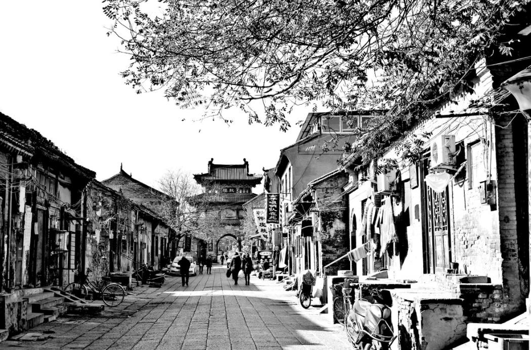
The city’s strategic placement allowed it to leverage both natural and man-made transport infrastructure:
- The Ancient Silk Road Terminus: Luoyang served as the eastern terminus (or a major hub) for sections of the ancient Silk Road for extended periods. This legendary network of trade routes connected China with Central Asia, the Middle East, and Europe. Being at the heart of this route meant Luoyang was a primary recipient of exotic goods, cultural influences, and technological innovations. For an imperial power, this translated into immense economic wealth, diplomatic leverage, and access to strategic resources not found within China’s borders. It facilitated the flow of silk, spices, precious metals, and ideas, enriching the capital and solidifying its international standing.
- Proximity to the Grand Canal (Later Dynasties): While the Grand Canal was fully developed in later imperial periods, its various segments and precursor waterways significantly enhanced Luoyang’s strategic value. The canal system, particularly during the Sui and Tang dynasties, linked the Yellow River to the Yangtze River, creating an unprecedented north-south transport artery. Luoyang, situated on the Yellow River and near the Luo River, was perfectly positioned to benefit from this system, connecting the agricultural bounty of the south to the political and military centers of the north. This drastically improved the efficiency of grain transport, troop movements, and communication across the empire.
- East-West Land Routes: Apart from the major trade networks, Luoyang was also a natural hub for internal east-west land routes. These routes were crucial for moving armies, dispatching imperial decrees, and facilitating internal commerce. Control over these arteries meant swift communication and rapid deployment capabilities, essential for maintaining administrative control over a vast and often tumultuous empire.
The combination of these factors – defensible natural features, abundant resources via river systems, and unparalleled connectivity through both land and water routes – made Luoyang an irresistible choice for successive dynasties seeking to establish and maintain control over China’s heartland.
Key Factors for Locating an Ancient Imperial Capital
Understanding Luoyang’s repeated selection as a capital also requires recognizing the universal criteria ancient empires considered when establishing their centers of power. These factors, often interconnected, formed a strategic checklist for rulers:
- Geographic Centrality: A capital needed to be centrally located within the empire’s core territories to facilitate administration, communication, and military projection. Luoyang’s position in the Central Plains offered excellent reach across various regions.
- Defensibility: Protection from invasion was paramount. Natural barriers like mountains and rivers, combined with strategic passes, offered inherent security. Luoyang leveraged its surrounding topography to great effect.
- Resource Availability: Access to food, water, timber, and other raw materials was non-negotiable for sustaining a large urban population and an army. The fertile plains of the Yellow and Luo Rivers provided abundant agricultural output.
- Transportation Hub: Efficient movement of goods, people, and information was critical for governing. Capitals were often situated at river junctions, major roads, or coastal areas. Luoyang’s river confluences and its position on major trade routes exemplified this.
- Economic Viability: The capital needed to be a center of commerce and taxation to generate revenue for the state. Its role on the Silk Road and later near the Grand Canal made Luoyang an economic powerhouse.
- Cultural and Symbolic Significance: While not purely geographic, a location’s historical or spiritual significance could also influence its selection. Luoyang’s long history as a capital imbued it with immense symbolic weight, reinforcing its legitimacy for new dynasties.
These criteria highlight why Luoyang’s unique geographical endowments allowed it to consistently outperform other potential sites, securing its place in history as a pivotal imperial capital. Its strategic attributes were not just theoretical; they translated directly into administrative efficiency, military security, and economic prosperity for the dynasties that ruled from its heart.
For any entity looking to understand the enduring historical significance of geographical positioning, Luoyang City, China, offers a compelling case study. Its story is a testament to how natural landscapes can dictate the rise and fall of empires, shaping political power and economic development for millennia.
To learn more about the environmental factors influencing historical settlements, we encourage you to explore further historical insights and geographical analyses.
