
Blog
Why Ancient Capitals and Modern Cities Have Different Borders

Why Ancient Capitals and Modern Cities Have Different Borders
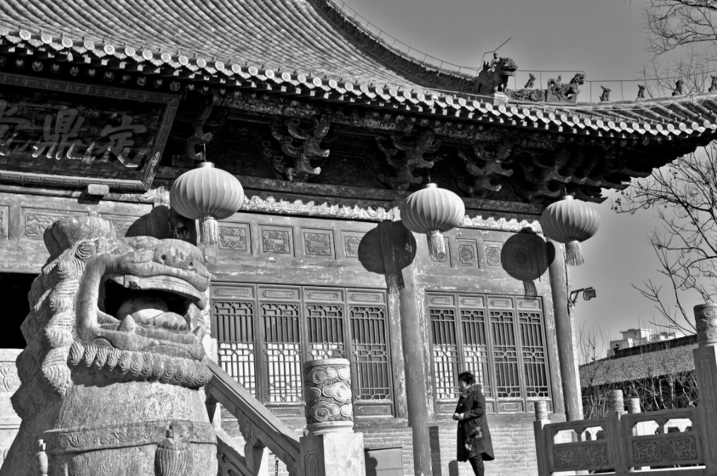
Travelers arriving in luoyang henan china often face a moment of confusion. They book a hotel downtown, open a map to visit the famous Longmen Grottoes or the ruins of the Han-Wei capital, and realize the historic sites sit far from the current city center. The modern municipality looks one way. The ancient capital footprint looks entirely different. Why does this happen?
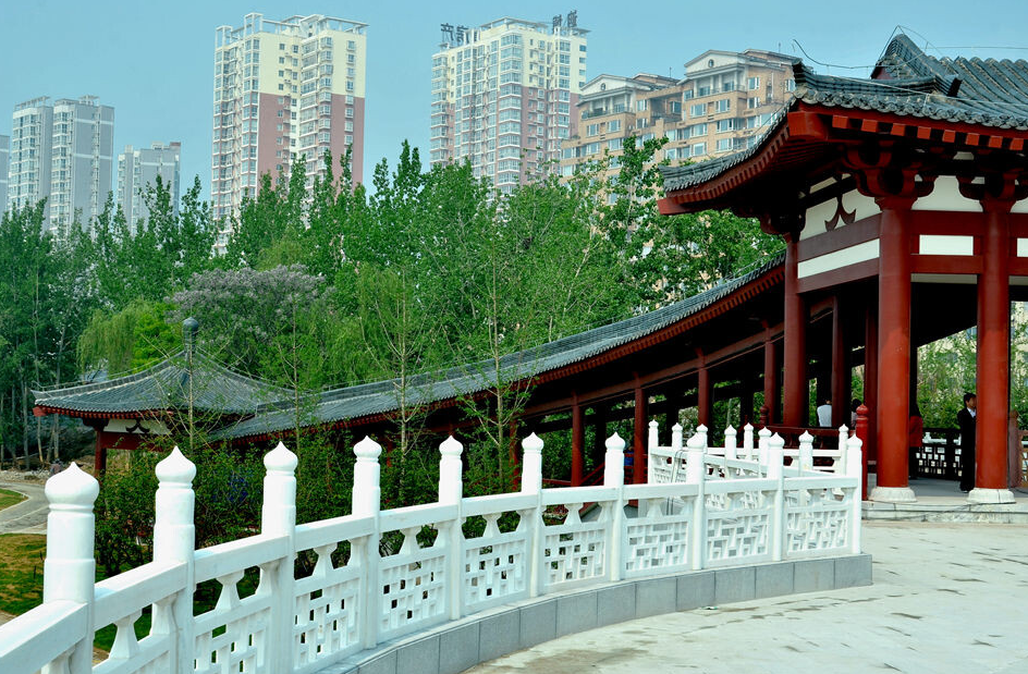
The answer lies in a fundamental mismatch between archaeological reality and administrative convenience. Ancient capitals were not static points. They shifted, burned, flooded, and were rebuilt. Modern cities, by contrast, are legal entities defined by survey lines, utility grids, and population density. When you stand in the middle of modern Luoyang, you are not standing where the Tang dynasty emperors stood. You are standing in a 20th-century industrial and residential expansion that happened to inherit the name.
This article explains the boundary problem directly. It covers why the physical ruins do not match the current map, how rivers and defensive needs forced capitals to move, and what this means for anyone planning a visit or researching historic geography.
Boundary-Focused Explanation of Why Archaeological Capital Sites Do Not Align with Present-Day Municipal Limits
Modern municipal boundaries serve tax collection, infrastructure planning, and population management. Ancient capital boundaries served defense, ritual, and agricultural supply. These are completely different purposes. Comparing them directly creates the illusion that the ancient city was “over there” while the modern city is “over here.” In reality, the modern city swallowed the ancient one, then expanded past it.
Take luoyang henan china as the clearest example. The current Luoyang municipal district covers approximately 15,000 square kilometers when you include its rural counties. But the Sui-Tang dynasty capital occupied a much smaller, irregular footprint along the Luo River. The modern city hall sits north of the river. The Sui-Tang palace complex sat on a different alignment entirely. Modern roads cut diagonally across ancient axis lines. A visitor using a modern GPS app will see two overlapping, incompatible geometries.
Here is a breakdown of why the mismatch occurs:
| Factor | Ancient Capital Logic | Modern City Logic | Resulting Boundary Conflict |
|---|---|---|---|
| River Courses | Built adjacent to rivers for transport and water supply; rivers shifted course over centuries | Rivers are fixed with levees and channels; land is reclaimed for development | Ancient wharves and river gates now sit inland, far from the current riverbank |
| Defensive Walls | Walls enclosed a compact, dense core; suburbs and tombs lay outside | Walls were demolished for roads and rail lines; city expanded outward in all directions | Ancient wall lines are now invisible under modern boulevards |
| Dynastic Rebuilding | Each dynasty often built a new palace or shifted the core a few kilometers | Modern construction builds upward rather than relocating the center | Multiple “old cities” exist as separate archaeological layers |
| Administrative Naming | The name “Luoyang” applied to the capital region, not a precise legal boundary | The name applies to a legally defined municipal area with county-level divisions | The name stayed the same while the physical location drifted |
This table explains the core issue. The name is continuous. The physical location is not. When a traveler searches for “the ancient capital of Luoyang,” they are searching for a concept that spans at least five distinct archaeological sites spread across a 20-kilometer corridor. The modern city is just one layer among many.
The Historical Mechanics of Capital Relocation
Ancient Chinese capitals moved for specific, practical reasons. Understanding these reasons helps you read any historic city map correctly. The pattern is consistent across dynasties.
River flooding. The Luo River and Yellow River systems flooded repeatedly. Silt raised the riverbed over centuries. A capital built at river level in 500 CE might sit below the water table by 900 CE. Rather than fight the hydrology, rulers shifted the palace complex to higher ground a few kilometers away. The old city became farmland. The new city inherited the name.
Political destruction. When a dynasty fell, the new dynasty often burned or dismantled the previous palace. Rebuilding on the same spot was considered ritually contaminated. The new ruler preferred a fresh site. In the Luoyang region, the Eastern Zhou, Eastern Han, Northern Wei, and Sui-Tang capitals all occupied distinct locations. They are not stacked neatly on top of each other. They are spread out like beads on a string.
Defensive repositioning. A capital needed natural barriers. Mountains to the north, rivers to the south, passes to the west. If a new threat emerged from a different direction, the defensive logic changed. The capital shifted to face the new threat. The old defensive line became obsolete.
Here is a concrete step-by-step procedure for locating an ancient capital site relative to a modern city:
- Identify the dynasty. Do not search for “ancient Luoyang.” Search for “Northern Wei Luoyang” or “Sui-Tang Luoyang.” Each dynasty has a distinct site.
- Find the river course at that time. Look for old river channels on geological survey maps. The ancient city sat adjacent to the old channel, not the current one.
- Locate the walled core. Archaeological surveys mark the walled enclosure. This is the palace and administrative center. It is much smaller than the modern urban area.
- Expand outward for tombs and temples. Royal tombs, Buddhist grottoes, and ritual sites sit outside the walls. They often survive better than the city core because they were carved into rock or built on hillsides.
- Overlay the modern map. Only now do you compare the ancient footprint to current roads and districts. Expect misalignment.
This procedure works for any ancient capital, not just luoyang henan china. It forces you to think in layers rather than assuming continuity.
Common Mistakes When Comparing Ancient and Modern City Maps
Researchers and travelers make predictable errors. These errors lead to wasted time, missed sites, and incorrect assumptions about what is “authentic.”
- Assuming the modern city center equals the ancient center. In most cases, the modern center is a 20th-century development. The ancient center may be several kilometers away, often in a rural or industrial zone.
- Using modern district names to locate ancient sites. Modern districts are administrative conveniences. An ancient palace may straddle two modern districts or sit in a third district entirely.
- Expecting visible ruins at the ancient center. Many ancient capitals are buried under farmland. The walls are gone. The palace foundations are beneath meters of silt. What you see at ground level is often just a marker stone or a museum.
- Treating the ancient city as a single point. An ancient capital was a network: palace, administrative quarter, markets, temples, tombs, and satellite towns. These were not contiguous. They were connected by roads and canals.
- Ignoring river migration. Rivers moved. A temple built on the riverbank in 600 CE may now sit 2 kilometers from the water. The temple did not move. The river did.
Each of these mistakes stems from applying modern mental models to pre-modern geography. The fix is simple: treat the ancient city as a shifting network, not a fixed point.
How River Changes Redrew the Map of Luoyang
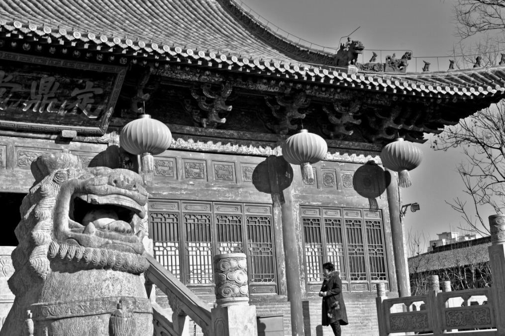
The Luo River is the single most important geographic feature for understanding luoyang henan china. The river provided water, transport, and defense. It also destroyed the city repeatedly.
Historical records describe the Luo River shifting its course after major floods. The Northern Wei capital sat on the south bank. The Sui-Tang capital shifted to a different alignment. The modern city straddles both banks. What looks like a single continuous river on a modern map is actually a palimpsest of old channels, oxbow lakes, and reclaimed floodplain.
For a traveler, this means the distance between two ancient sites is not the straight-line distance on a modern map. You must account for the old river crossing points, the old bridges, and the old ferry landings. A site that looks close to your hotel may actually require a long detour because the old ford no longer exists.
Here is a worked example. Suppose you want to visit the Eastern Han capital site and the Longmen Grottoes in one day. On a modern map, they appear close. But the Eastern Han capital sat north of the modern river course. Longmen sits south. The old road between them crossed the river at a specific ford that is now under a reservoir. You cannot follow the ancient route. You must use modern bridges that take you far east or west first. The apparent proximity is an illusion created by the modern map.
A Buyer’s Decision Checklist for History-Focused Itinerary Planning
If you are planning a research trip or a history-focused itinerary, use this checklist before booking anything. It prevents the most common planning failures.
- Have I identified the specific dynasty for each site? Never group “ancient Luoyang” sites together without checking which dynasty each one belongs to.
- Have I checked the distance between sites using driving routes, not straight-line distances? Ancient sites are often separated by rivers, hills, and industrial zones.
- Have I confirmed which sites are open to the public and which are active archaeological zones? Many capital sites are not open. You can view them from a distance or visit a nearby museum.
- Have I allocated time for the museum first? Museums provide the overlay maps that make the outdoor sites comprehensible. Visit the museum before the ruins.
- Have I accounted for seasonal flooding or agricultural cycles? Some sites are only visible after harvest when crops are low. Others are inaccessible during the rainy season.
This checklist applies to any ancient capital region. The specific sites differ, but the logic is the same.
Why the Name Survives When the Location Moves
This is the most confusing part for newcomers. If the capital moved, why did the name stay the same? The answer is political legitimacy.
A dynasty that claimed the name “Luoyang” claimed continuity with previous dynasties. Even if the new palace sat 5 kilometers from the old one, the name carried symbolic weight. It said: we are the rightful heirs of the Han, the Wei, the Tang. The name was a political tool, not a geographic descriptor.
Modern municipalities inherited this habit. When the People’s Republic of China drew modern administrative boundaries, they used historical names for prestige and identity. The modern city of Luoyang includes areas that were never part of any ancient capital. It also excludes some areas that were. The name is broader and looser than the archaeological reality.
This does not mean the name is wrong. It means the name operates on two levels: a symbolic level for political continuity, and a practical level for modern administration. The ancient capital is a third level: a physical, archaeological layer that does not match either of the other two.
For a researcher, the rule is simple. When you read “Luoyang” in a Tang dynasty text, you must ask: which Luoyang? The palace city? The outer city? The metropolitan region? Each has a different boundary. The modern city name is too coarse to answer that question.
Practical Implications for Site Selection and Research
Understanding the boundary mismatch changes how you approach research. It forces you to be more precise in your language and more skeptical of modern maps.
When you read an archaeological report, note the coordinate system. Many reports use the modern municipal grid. Others use a local archaeological grid. The two do not align. If you are comparing reports from different eras, you must convert between them.
When you read a travel guide, check whether it distinguishes between the modern city and the ancient sites. Many guides blur the distinction. They say “visit ancient Luoyang” when they mean “visit a museum in modern Luoyang that displays artifacts from several ancient sites.” The difference matters for planning.
When you look at satellite imagery, do not expect to see a neat rectangle of ancient walls. You will see fields, roads, factories, and occasional excavation trenches. The ancient city is a ghost. It appears as subtle crop marks, slight elevation changes, and the alignment of old roads that modern planners never fully erased.
The boundary problem is not a flaw in the historical record. It is a feature of how cities evolve. Ancient capitals were organisms. They grew, shrank, moved, and died. Modern cities are legal frameworks. They expand, absorb, and rename. The two systems overlap but never fully coincide.
If you are planning a visit to luoyang henan china or any other ancient capital region, start with the archaeological maps, not the tourist maps. Identify the dynasty. Find the old river course. Mark the walled core. Only then overlay the modern roads. That sequence saves hours of confusion and reveals the true geography of the past.
For detailed site-by-site guidance on historic capital regions, or to request a custom research itinerary that separates ancient footprints from modern districts, contact our team with your specific dynasty and date range. We can help you map the layers correctly before you travel.
