
Blog
Why Luoyang Henan China Sits Between Two Rivers


Why Luoyang Henan China Sits Between Two Rivers
The question comes up often from researchers and first-time visitors: why did so many dynasties place their capital at luoyang henan china? The answer is not purely cultural. It starts with hydrology. Luoyang occupies a narrow basin where the Luo River flows north into the Yellow River. That confluence is the key to everything — food, defense, transport, and the city’s four-thousand-year record of human occupation.
The site sits on the south bank of the Yellow River, shielded by mountains to the north and west. The Luo River, a tributary, approaches from the southwest and joins the Yellow River just east of the old city core. This is not a random location. It is a calculated geographic compromise between access and isolation. Understanding that compromise explains why the site was chosen repeatedly by the Xia, Shang, Zhou, Han, Wei, Sui, and Tang courts. It also helps modern travelers plan a more coherent visit.
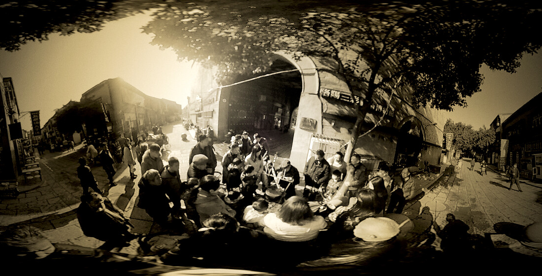
How the Luo River–Yellow River Setting Shaped Settlement, Transport, and Defensibility
Most ancient capitals faced a trade-off. A city needed water for drinking and irrigation. It needed flat land for grain fields. It needed a transport route for heavy goods like stone, timber, and bronze. But it also needed to be hard to attack. The Luoyang basin resolves this tension with unusual efficiency. The two rivers work together as a single system.
Here is what each parameter actually affects in practice, and what goes wrong when a site lacks it.
| Geographic Parameter | What It Actually Affects in Practice | What Happens If You Get It Wrong |
|---|---|---|
| Confluence of Luo River and Yellow River | Creates a natural junction for boat traffic. Grain, salt, and metals could move upstream from the North China Plain directly to the capital granaries. | Without a navigable tributary, the capital depends on expensive overland carting. Food prices spike. Armies cannot be supplied in winter. |
| South bank position of the Yellow River | Places the city on the drier, more stable side. The north bank is lower and historically prone to flooding and channel shifts. | A capital on the north bank gets washed out or cut off from its southern agricultural hinterland during flood season. |
| Enclosed basin with mountain passes | Limits the number of approach routes an invader can use. Defenders can fortify a few narrow passes rather than a long open frontier. | An open plain capital must maintain a huge standing army. Defense costs consume the treasury within a generation. |
| Luo River valley as an east-west corridor | Connects the Central Plains to the Wei River valley and the Chang’an region to the west. It is the natural overland route for armies and merchants. | Without this corridor, the western and eastern halves of the empire become separate economic zones that drift apart politically. |
The Luo River itself is not particularly large. It is navigable only for shallow-draft vessels. But that was enough. The Yellow River provided the long-distance trunk line. The Luo River provided the local feeder line. Grain barges from the eastern plains transferred cargo at the confluence, then moved up the Luo to the capital’s granaries. Stone for palace foundations came down from the nearby mountains on small rafts. Timber from the Qinling range floated down the Yellow River and was winched ashore at the city’s river gates.
Defensibility works on the same logic. To the north, the Yellow River acts as a moat. To the south and west, the Xiao Mountains and the Xiong’er Mountains close off approaches. The only easy routes are through the Hangu Pass to the west and the Hulao Pass to the east. Both are choke points. A small garrison can hold either pass against a much larger force. This is not a theoretical claim — it is why the site was contested so fiercely in the wars that ended the Qin and the Sui dynasties.
Reading the Landscape Before You Visit
If you are planning a research trip or a first-time itinerary, the geography is best understood from three vantage points. Each one reveals a different layer of the site’s logic.
- Longmen Grottoes, south bank of the Yi River. This is where the limestone cliffs were carved into Buddhist caves. The Yi River is a tributary of the Luo. Standing there, you see why the site was chosen for devotional art: hard, stable rock faces directly above a navigable water route. Monks and patrons could reach the site by boat from the city center.
- White Horse Temple, east of the old city. The temple sits on the flat alluvial plain between the Luo River and the Mangshan hills. This was the agricultural core of the capital region. The temple’s location shows how far the city’s food supply zone extended — roughly a day’s walk from the palace compound.
- The old city walls and the Luo River channel. The modern channel is partly canalized, but the line of the old river bed is still visible in places. The walls were built to use the river as a southern moat. Walking the wall line with a map makes the defensive logic concrete.
For researchers, the key is to look at the relationship between the rivers and the man-made structures. The city was not simply placed “near water.” It was engineered to use the water as transport infrastructure, defensive barrier, and agricultural irrigation source simultaneously.
Common Mistakes When Interpreting Luoyang’s Geography
Visitors and even some published itineraries make the same errors. They compress the geography into a single “Luoyang” that does not match the historical reality. Here are the most frequent mistakes and how to avoid them.
- Treating the Yellow River as a minor feature. In many modern maps, the Yellow River appears as a thin line far north of the city center. But in the Bronze Age and early imperial period, the river’s course shifted. Some channels ran closer to the old city than today. Always check historical river course reconstructions before drawing conclusions about ancient distances.
- Ignoring the elevation difference. The city proper sits on a loess terrace slightly above the floodplain. The fields and the river ports were lower. When reading excavation reports, note the elevation of each site. A site at 120 meters above sea level is not the same as one at 110 meters. The difference determines whether it was a residential zone or a flood-prone agricultural zone.
- Assuming the Luo River was always navigable year-round. It was not. Summer floods made the Luo dangerous. Winter ice stopped all boat traffic. The capital’s granaries had to be stocked during the spring and autumn shipping windows. This seasonal rhythm shaped the entire administrative calendar.
- Overlooking the western passes. Many visitors focus on the east-west axis of the Yellow River. But the real strategic vulnerability was the Hangu Pass to the west. If an army from Chang’an took the pass, Luoyang was effectively cut off from its western grain sources. The city’s military history is a history of controlling that pass.
A Worked Example: Supplying the Capital in the Tang Dynasty
To make the river system concrete, consider a specific supply problem. In the early Tang period, the court at Luoyang needed to feed roughly 300,000 people, including the imperial household, the bureaucracy, the army, and the service population. The local basin could not produce enough grain. The shortfall had to come from the lower Yangtze region, shipped north via the Grand Canal, then west along the Yellow River, then up the Luo River to the city.
The route worked like this:
- Grain barges moved north on the Grand Canal from the Huai River basin to the Yellow River junction near modern Kaifeng.
- Barges then moved upstream on the Yellow River, a slow and dangerous stretch. The river’s current was strong, and sandbars shifted constantly. Many boats were lost each season.
- At the confluence with the Luo River, cargo was transferred to smaller, shallower craft. The Luo could not handle the large canal barges.
- The smaller craft moved up the Luo to the capital’s granaries, located just outside the city’s eastern wall.
This system worked, but it was fragile. A single season of drought on the Yellow River meant the granaries ran low by winter. A military threat to the canal meant immediate food shortages in the capital. This is why Tang emperors repeatedly moved the court between Chang’an and Luoyang. Chang’an was more secure. Luoyang was easier to supply. The choice between the two capitals was, at its core, a choice between defensibility and logistics.
What This Means for Your Visit or Research Plan
If you are a researcher, the river system should shape how you read primary sources. When a text mentions “the granaries,” it means the river-side storage facilities, not the palace storehouses. When an edict orders the repair of “the river gates,” it refers to the water gates on the Luo River channel, not the main city gates. When a military chronicle describes an army “camped on the north bank,” that bank is the Yellow River’s south side — the text is describing the enemy’s position relative to the city’s moat.
If you are a first-time visitor, the geography should shape your itinerary order. Start at a high point overlooking the basin — the Mangshan hills north of the city work well. From there, trace the line of the Luo River southward to the Yellow River. Then visit the sites in the order of the river system: the granary sites first, then the old city walls, then the Longmen Grottoes on the tributary. This order follows the logic of the city’s daily life in the imperial period: food first, defense second, devotion third.
Do not try to see everything in one day. The river distances are larger than they look on a tourist map. The walk from the old city core to the Yellow River confluence is several hours. Budget at least two full days for the geographic context alone, and a third day if you want to visit the western passes.
For a deeper dive into the archaeological evidence for the river ports and granaries, or to plan a research itinerary that follows the Luo River system from source to confluence, send a note with your specific dates and research focus. We can point you to the most useful excavation reports and current access conditions for the relevant sites.
