
 By
By Hangu Pass Complete Guide
Hangu Pass is a mountain pass in western Henan province, China, formed where the Yellow River and the Qin Mountains squeeze the landscape into a narrow corridor. This natural chokepoint controlled movement between the Central Plains and the Guanzhong region for more than two thousand years. For B2B buyers and logistics planners, that kind of geographic leverage is not just ancient history. It is a case study in supply chain vulnerability, route control, and strategic positioning.
In this complete guide, we break down the location, historical significance, and modern lessons from Hangu Pass without drifting into myth. Expect practical comparisons and clear takeaways for export-oriented teams.
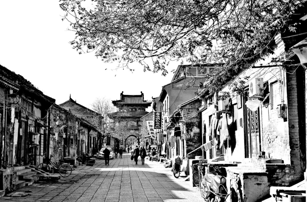
Where Is Hangu Pass and Why Did It Matter?
Hangu Pass sits at the eastern edge of the Qin Mountains, where the Yellow River bends and leaves only a narrow strip of passable land. That geography made it a gate, not just a road. Armies could not easily bypass it. Merchants had to pass through it. Whoever controlled Hangu Pass controlled tax revenue, military movement, and the flow of goods between two major economic zones.
The pass became a recurring flashpoint in Chinese history. The Qin state, the Han dynasty, and later regimes all fortified the area. The terrain itself did much of the work. Steep slopes on one side and the river on the other left attackers with few options. That defensive advantage turned Hangu Pass into a strategic asset that leaders fought to hold.
For export and import teams, the lesson is direct. Geography still shapes freight costs, customs checkpoints, and delivery reliability. A modern equivalent might be a critical strait or border crossing where one disruption causes cascading delays.
What Makes Hangu Pass Unique
Many mountain passes exist. Few combine natural defense, economic control, and historical continuity the way Hangu Pass does. The table below highlights how Hangu Pass compares with a typical broad mountain pass.
| Feature | Hangu Pass | Typical Mountain Pass |
|---|---|---|
| Approach routes | One dominant narrow corridor | Several possible access points |
| Defensive value | Extremely high due to choke point geography | Moderate, depends on local terrain |
| Trade control | Centralized toll and inspection point | Traffic can disperse across routes |
| Modern analogy | Suez or Malacca strait chokepoint | Open highway network with alternates |
This contrast explains why Hangu Pass became a symbol of leverage. When you control the only viable route, you set terms. When buyers or sellers depend on a single corridor, they accept higher costs, longer lead times, or political risk. Smart logistics teams map these chokepoints before they become problems.
We see the same pattern in modern procurement. A supplier located behind a bottleneck may face shipment delays. A buyer who understands choke point geography can negotiate better incoterms, buffer inventory, or diversify origins.
Hangu Pass in Ancient Supply Chains
Long before container ships, Hangu Pass functioned as a customs gate for grain, silk, metals, and salt. Caravans moving from the productive Central Plains toward the Guanzhong region had to pass through this narrow point. Local authorities could inspect cargo, levy tolls, and refuse entry to unwanted goods or people. That made Hangu Pass both a revenue engine and a risk filter.
The pass also shaped military logistics. Armies needed food, weapons, and horses. A commander who held Hangu Pass could block an enemy’s supply line without fighting a single battle. Defenders could wait. Attackers had to force a costly frontal assault through a narrow front.
That dynamic still shows up in global trade. Ports, rail hubs, and border crossings function as modern chokepoints. When one of them stalls, inventory piles up, demurrage fees climb, and downstream production slows. The ancient logic of Hangu Pass reappears in every customs delay or canal blockage.
For B2B teams, the takeaway is not to fear chokepoints but to map them. Know which port, rail line, or border crossing your cargo must use. Identify the single point of failure. Then build a Plan B.
Lessons from Hangu Pass for Modern Export and Logistics
Hangu Pass offers a clear framework for supply chain risk management. The first step is route visibility. If your goods travel through a constrained corridor, you need real-time tracking and a pre-approved alternative route. The second step is inventory positioning. Holding safety stock before the chokepoint can reduce the impact of a sudden delay.
Think of Hangu Pass as an early warning system. The pass did not become important overnight; its geography created the vulnerability. In the same way, a single deep-water port or a specific highway tunnel can become a silent risk for your export schedule. In my work with export clients, I have seen how a single bottleneck can distort lead times and inflate landed costs. We recommend auditing your main shipping lane for similar pinch points.
- Map chokepoints: Identify ports, straits, and border crossings that cannot be easily bypassed.
- Diversify origins: Avoid sourcing all critical components from one region with limited exit routes.
- Buffer lead time: Add margin for customs, weather, and geopolitical disruptions at key gateways.
- Review contracts: Clarify who bears the risk when a chokepoint closes or slows.
These steps do not require complex software. They require the same strategic thinking that made Hangu Pass a decisive asset for centuries. You look at the map, find the narrow place, and plan around it.
How to Visit or Study Hangu Pass Today
Hangu Pass remains a point of interest for historians, travelers, and supply chain analysts who want to see geography in action. The area around the ancient pass includes reconstructed gate structures and interpretive signage that explain its strategic role. Visiting the site can make the concept of a chokepoint more concrete than any report.
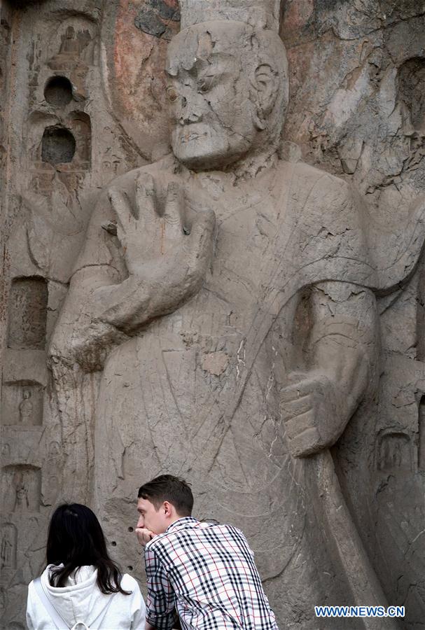
If travel is not an option, use satellite maps to trace the narrow corridor between the Yellow River and the Qin Mountains. The terrain tells the story. You can see why armies could not easily go around Hangu Pass and why trade had to flow through it. That visual exercise is a cheap way to train logistics teams in route risk thinking.
Frequently Asked Questions About Hangu Pass
Here are concise answers to common questions from readers exploring Hangu Pass for the first time.
Where is Hangu Pass located?
Hangu Pass is located in western Henan province, China, near the point where the Yellow River approaches the Qin Mountains.
Why was Hangu Pass important in Chinese history?
Hangu Pass controlled the main route between the Central Plains and the Guanzhong region. This made it a key chokepoint for military campaigns, trade flows, and tax collection.
Can you visit Hangu Pass today?
Yes, the site is accessible and offers historical context for visitors interested in ancient Chinese military and economic history. Check local travel guidance before planning a trip.
What modern business lesson does Hangu Pass teach?
Hangu Pass teaches that control of a narrow route gives leverage. For supply chain and export teams, this translates into mapping chokepoints, diversifying routes, and building buffer inventory.
